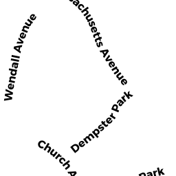
7 DEMPSTER PK
Owner Information
DEMPSTER PARK LLC
192 WEST STATE STREET
TRENTON, NJ 08608


Property Details
7 DEMPSTER PK is classified as a Single Family Residential (Custom).
The primary structure on this property was built in 2009. There are 6,864ft2 of built area within this property. There is 6,864ft2 of residential/living space within this property.
7 DEMPSTER PK is valued at $4,331,100. The land is valued at $1,444,300 and the structures are valued at $2,886,800.
The most recent deed for 7 DEMPSTER PK is recorded at the local registrar in Book 1437, Page 471. 7 DEMPSTER PK was last sold on Thursday, April 27, 2017 for $1.
Assessment data from fiscal year 2022.
Flood Data
According to the FEMA National Flood Hazard Layer, this property does not appear to be in a flood zone. It may also be in an area not yet reviewed. Nonetheless, confirm this information prior to taking any action.
To view the flood hazards around this property, create a FEMA "Firmette" Map of the area around 7 DEMPSTER PK.
Broadband Internet Providers
| Provider | Type | Bandwidth (mbps) | |
|---|---|---|---|
| Comcast | Cable | 1000 | 35 |
| GCI Communication Corp. | Satellite | 0 | 0 |
| HughesNet | Satellite | 25 | 3 |
| VSAT Systems, LLC. | Satellite | 2 | 1 |
| Verizon New England Inc. | DSL | 3 | 0 |
| Viasat Inc | Satellite | 35 | 3 |
Broadband service provider data from December 2020.
Adjacent Properties
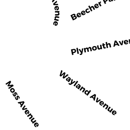
- 25 PLYMOUTH AV
Single Family Residential owned by SCALES LINDA LOUISE - 19 BEECHER PK
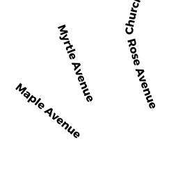
Single Family Residential owned by GOURD RAMSAY R TR - 62 CHURCH AV
Single Family Residential owned by THOMPSON SUSAN E - 56 CHURCH AV
Single Family Residential owned by GRIFFEN DONNA S - 52 CHURCH AV
Single Family Residential owned by PARRIS VERITY - 4 DEMPSTER PK
Single Family Residential owned by WILDER LARRY - 8 DEMPSTER PK
Single Family Residential owned by ROBINSON BRE F TR WURTZBACHER ERIN N TR - 6 DEMPSTER PK
Single Family Residential owned by ROBINSON BRE F TR WURTZBACHER ERIN N TR - 10 DEMPSTER PK
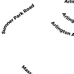
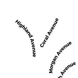
Single Family Residential owned by GROVES ROGER - 232 MASSACHUSETTS AV
Single Family Residential owned by CONNELLY ROBERT J III - 14 BEECHER PK
Single Family Residential owned by EVILLE ALFRED L - 9 BEECHER PK
Single Family Residential owned by CALLAHAN WILLIAM J - 15 BEECHER PK
Single Family Residential owned by BRENNAN KEVIN R